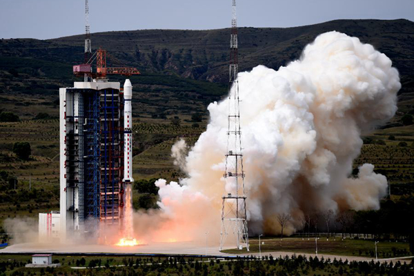
A Long March-4B carrier rocket carrying the Yaogan-21 remote sensing satellite blasts off from the launch pad at the Taiyuan Satellite Launch Center in Taiyuan, capital of North China’s Shanxi province, Sept 8, 2014. [Photo/Xinhua]
TAIYUAN - China successfully launched the Yaogan-21 remote sensing satellite into preset orbit at 11:22 am on Sept 8 Beijing Time (0322 GMT) from Taiyuan Satellite Launch Center.
The carrier rocket, a Long March-4B, is also carrying the Tiantuo-2 satellite, designed and built by the National University of Defense Technology (NUDT).
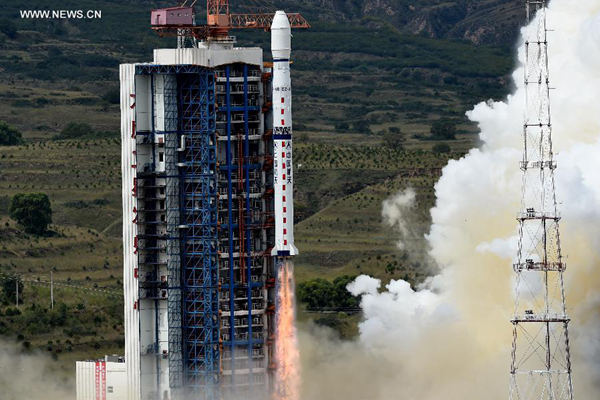
A Long March-4B carrier rocket carrying the Yaogan-21 remote sensing satellite blasts off from the launch pad at the Taiyuan Satellite Launch Center in Taiyuan, capital of North China’s Shanxi province, Sept 8, 2014. [Photo/Xinhua]
Yaogan-21 will be used for scientific experiments, natural resource survey, estimation of crop yield and disaster relief.
Tiantuo-2 is a small satellite weighing 67 kg and carries four video cameras. It is able to track and record moving targets and send the images back to the ground in real time, according to a statement from the NUDT.
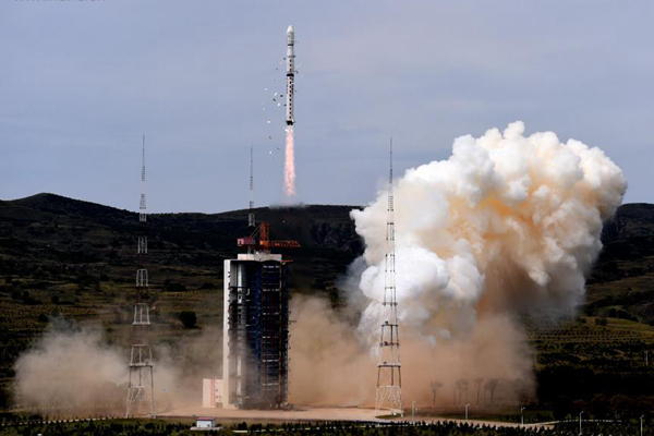
A Long March-4B carrier rocket carrying the Yaogan-21 remote sensing satellite blasts off from the launch pad at the Taiyuan Satellite Launch Center in Taiyuan, capital of North China’s Shanxi province, Sept 8, 2014.[Photo/Xinhua]
The major task of Tiantuo-2 is to test these technologies and prepare for the research and development of video-imaging satellites with higher resolution, the statement said.
The satellite will be useful in surveys and monitoring of natural disasters, the statement said.
The launch is the 193rd mission for the Long March rocket family.