Aerial view of 'plateau sky road' in NW China's Xinjiang
Updated: October 22, 2019 09:49Xinhua
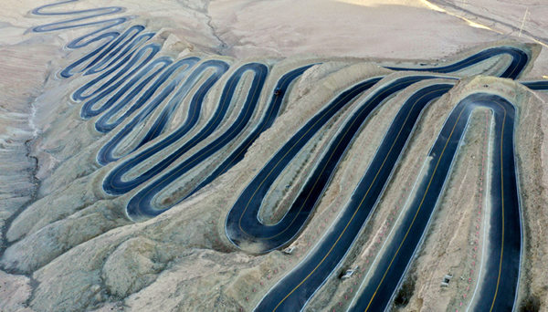
Aerial photo taken on Oct 20, 2019 shows a view of a mountain road in Tajik autonomous county of Taxkorgan, Northwest China's Xinjiang Uygur autonomous region. The road, constructed on the Pamir Plateau at an altitude of more than 4,200 meters with a 1,000-meter drop in height, is hailed as the "plateau sky road" by local residents. [Photo/Xinhua]
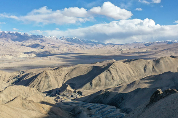
Aerial photo taken on Oct 20, 2019 shows a view of a mountain road in Tajik autonomous county of Taxkorgan, Northwest China's Xinjiang Uygur autonomous region. [Photo/Xinhua]
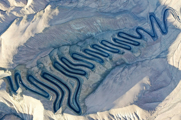
Aerial photo taken on Oct 20, 2019 shows a view of a mountain road in Tajik autonomous county of Taxkorgan, Northwest China's Xinjiang Uygur autonomous region. [Photo/Xinhua]
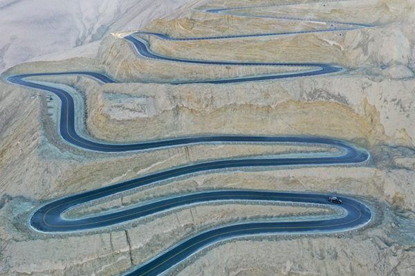
Aerial photo taken on Oct 20, 2019 shows a view of a mountain road in Tajik autonomous county of Taxkorgan, Northwest China's Xinjiang Uygur autonomous region. [Photo/Xinhua]