App

Mt Qomolangma remeasuring surveyors arrive at 6,500-m base camp
Updated: May 8, 2020 09:57 Xinhua
Chinese surveyors hike toward a higher spot after setting out from a base camp at an altitude of 5,200 meters in Southwest China's Tibet autonomous region on May 7, 2020. The Chinese measurement team of over 30 surveyors on May 7 arrived at a base camp at an altitude of 6,500 meters, as they endeavor to accomplish a mission to remeasure the height of the world's highest mountain. [Photo/Xinhua]

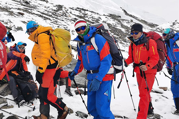
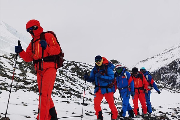
MOUNT QOMOLANGMA BASE CAMP — A team of over 30 Chinese surveyors on May 7 arrived at a base camp at an altitude of 6,500 meters, as they endeavor to accomplish a mission to remeasure the height of the world's highest mountain.

The team arrived at the advance camp at around 5 pm safe and sound, after they set out from their base camp at an altitude of 5,200 meters, located in Tingri county of Tibet autonomous region in Southwest China, on May 6.

The team will take a rest and continue to debug height measuring equipment at the base camp for at least one day before moving on.

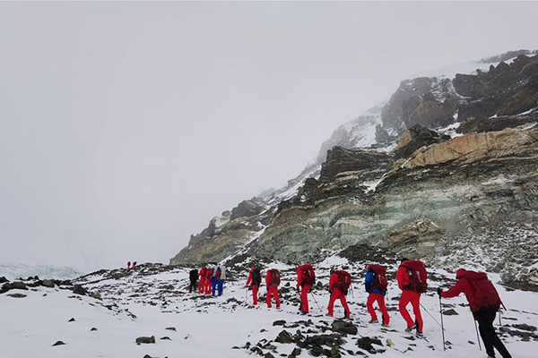
They arrived at a transition camp at a height of 5,800 meters at around 6 pm on May 6 and spent the night there. They began climbing at around 11 am, passed nearby the East Rongbuk glacier and arrived at the advance camp after six hours' walk.

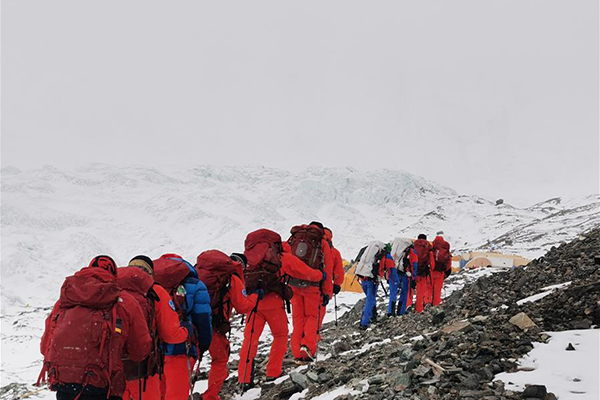
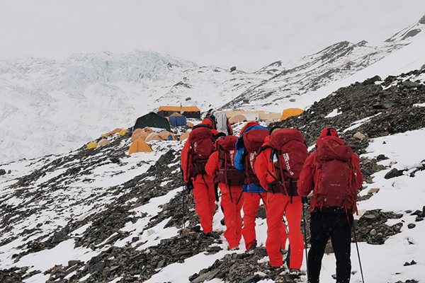
The advance camp sits on a slope next to the end of the glacier, and is the last camp before the snow line and the ice and snow road. After about an hour's walk up from the camp, the surveyor will arrive at the shoe-changing point, where climbers need to wear crampons to continue climbing on the icy road.

Known as the "devil camp," many professional mountain guides who have reached the peak of Mount Qomolangma many times also suffer from altitude sickness here due to its geographical location surrounded by mountains and poor air circulation.

Chinese surveyors hike toward a higher spot after setting out from a base camp at an altitude of 5,200 meters in Southwest China's Tibet autonomous region on May 7, 2020. [Photo/Xinhua]

Copyright© www.gov.cn | About us | Contact us

Website Identification Code bm01000001 Registration Number: 05070218

All rights reserved. The content (including but not limited to text, photo, multimedia information, etc) published in this site belongs to www.gov.cn.

Without written authorization from www.gov.cn, such content shall not be republished or used in any form.

Mobile

Desktop

Copyright© www.gov.cn | Contact us

Website Identification Code bm01000001

Registration Number: 05070218