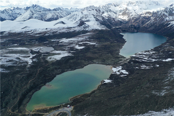
Aerial photo taken on June 1, 2020 shows the Sichuan-Tibet highway meandering in a valley in Southwest China. The Sichuan-Tibet highway connecting Southwest China's Sichuan province and the Tibet autonomous region serves as the artery linking the plateau region and China's inland areas. The over 2,000-km highway meanders through snow-covered mountains, crosses a dozen raging rivers, traverses world-class fault belts and countless swamps, permafrost areas, earthquake zones, landslide areas, glaciers and primeval forests. [Photo/Xinhua]
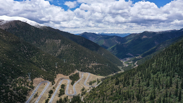
Aerial photo taken on June 1, 2020 shows the Sichuan-Tibet highway meandering in a valley in Southwest China. [Photo/Xinhua]
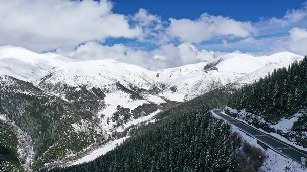
Aerial photo taken on June 1, 2020 shows the Sichuan-Tibet highway meandering in a valley in Southwest China. [Photo/Xinhua]
Aerial photo taken on June 1, 2020 shows the Sichuan-Tibet highway meandering in a valley in Southwest China. [Photo/Xinhua]
Aerial photo taken on June 1, 2020 shows the Sichuan-Tibet highway meandering in a valley in Southwest China. [Photo/Xinhua]