Aerial view of Southwest China's Tibet autonomous region
Updated: October 5, 2020 14:49Xinhua
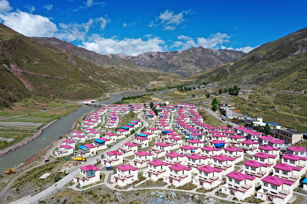
Aerial photo taken on Sept 18, 2020 shows the buildings of a resettlement site at Dengqen county in Qamdo city, Southwest China's Tibet autonomous region. This year marks the 70th anniversary of the liberation of Qamdo. [Photo/Xinhua]
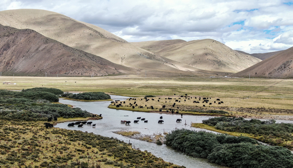
Photo taken on Sept 27, 2020 shows the scenery of a meadow at Lhorong county in Qamdo city, Southwest China's Tibet autonomous region. [Photo/Xinhua]
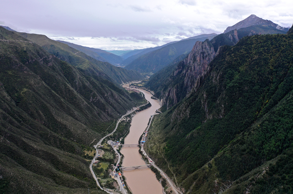
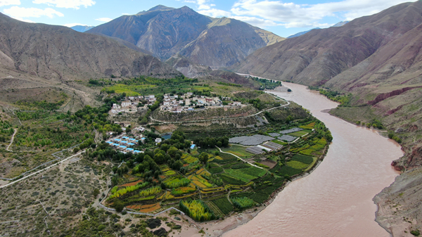
Aerial photo taken on Sept 24, 2020 shows a view of the Jinsha River at Gamtog township of Gyanmda county in Qamdo city, Southwest China's Tibet autonomous region. [Photo/Xinhua]
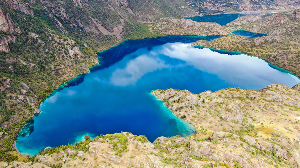
Aerial photo taken on Sept 26, 2020 shows the scenery of a lake at Banbar county in Qamdo city, Southwest China's Tibet autonomous region. [Photo/Xinhua]
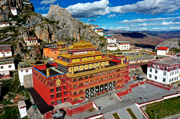
Aerial photo taken on Sept 19, 2020 shows a Buddhist temple at Dengqen county in Qamdo city, Southwest China's Tibet autonomous region. [Photo/Xinhua]
Aerial photo taken on Sept 28, 2020 shows a planting base in Qamdo city, Southwest China's Tibet autonomous region. [Photo/Xinhua]