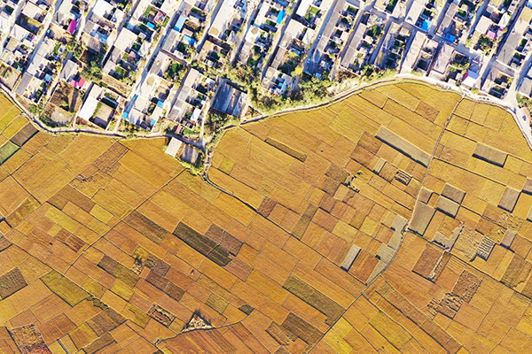
An aerial photo taken on Oct 18, 2020, shows the paddy fields of Jiangzhuang village of Luanzhou city, North China's Hebei province. [Photo/Xinhua]
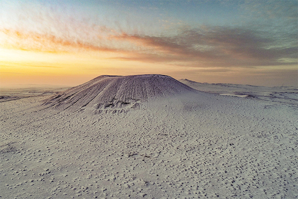
Aerial photo taken on Nov 28, 2020 shows the scenery of snow-covered volcanoes in Ulanqab, North China's Inner Mongolia autonomous region. [Photo/Xinhua]
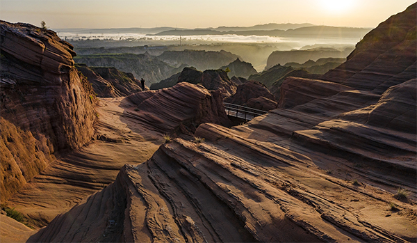
Aerial photo taken on Sept 24, 2020 shows the scenery of Danxia landform scenic area in Longzhou town of Jingbian county, Northwest China's Shaanxi province. [Photo/Xinhua]
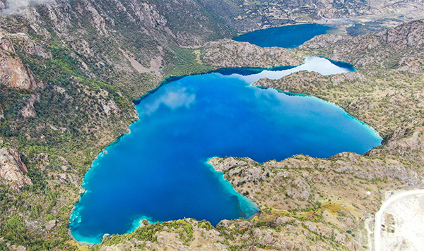
Aerial photo taken on Sept 26, 2020 shows the "black lake" of the "three-colored lakes" in Puyu village of Banbar county, Qamdo, Southwest China's Tibet autonomous region. [Photo/Xinhua]
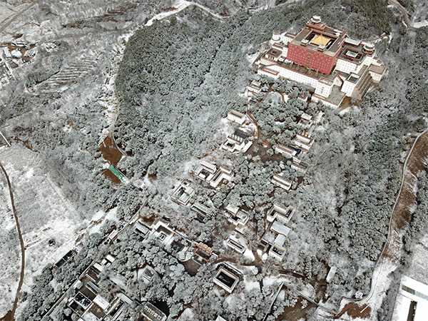
Aerial photo taken on Nov 19, 2020 shows a view of the snow-covered Putuo Zongcheng Temple, also known as "the Little Potala Palace," in Chengde city, North China's Hebei province. [Photo/Xinhua]
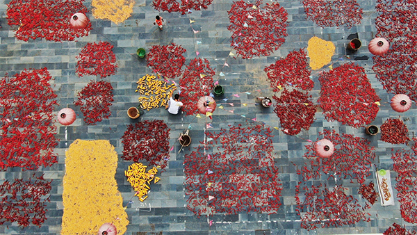
Aerial photo taken on Aug 15, 2020 shows villagers airing crops in Xiudong village of Jinping county, Southwest China's Guizhou province. [Photo/Xinhua]
Aerial photo taken on Nov 2, 2020 shows a view of a dawn redwood forest in Zhanghe Reservoir of Jingmen city, Central China's Hubei province. [Photo/Xinhua]
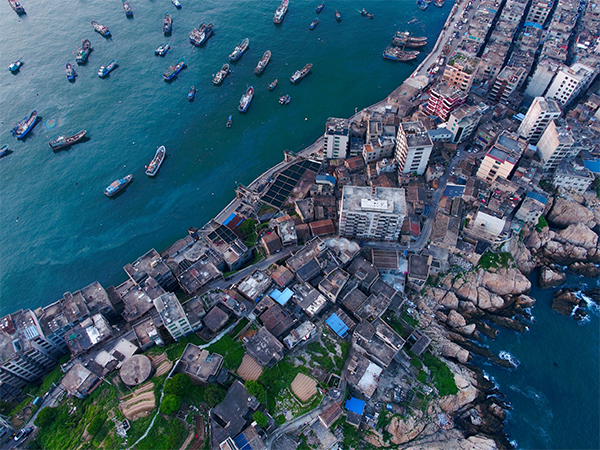
Aerial photo taken on May 13, 2020 shows fishing boats inside a bay at Beijiao village in Lianjiang county, Southeast China's Fujian province. [Photo/Xinhua]
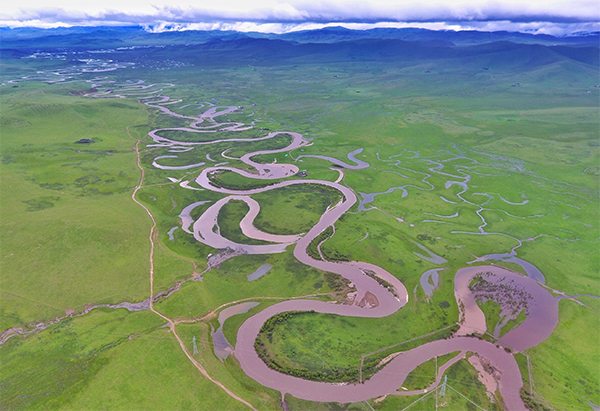
Aerial photo taken on June 17, 2020 shows the scenery of Raqu River in Ruoergai county, Southwest China's Sichuan province. [Photo/Xinhua]