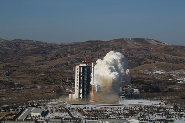
A Long March 2D rocket carrying a pair of 0.5-meter high-resolution remote sensing satellites, SuperView-1 01/02, blasts off from the launchpad at the Taiyuan Satellite Launch Center in North China’s Shanxi province, Dec 28, 2016. The satellites are able to provide commercial images at 0.5-meter resolution. [Photo/Xinhua]
TAIYUAN — China launched a pair of 0.5-meter high-resolution remote sensing satellites from the Taiyuan Satellite Launch Center in Shanxi province on Dec 28.
The satellites, SuperView-1 01/02, blasted off at 11:23 am Beijing time on the back of a Long March 2D rocket, according to the center.
They are able to provide commercial images at 0.5-meter resolution.
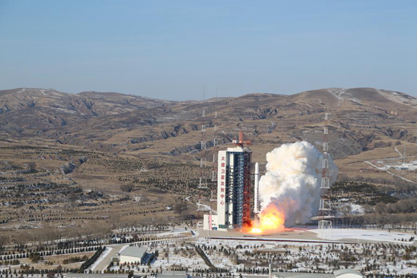
A Long March 2D rocket carrying a pair of 0.5-meter high-resolution remote sensing satellites, SuperView-1 01/02, blasts off from the launchpad at the Taiyuan Satellite Launch Center in North China’s Shanxi province, Dec 28, 2016. The satellites are able to provide commercial images at 0.5-meter resolution.[Photo/Xinhua]