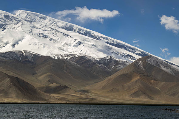
Photo taken on June 16, 2020 shows a view of Mount Muztagata on the Pamir Plateau, Northwest China's Xinjiang Uygur autonomous region. [Photo/Xinhua]
Photo taken on June 16, 2020 shows a view of the Karakul lake and snow mountains on the Pamir Plateau, Northwest China's Xinjiang Uygur autonomous region. [Photo/Xinhua]
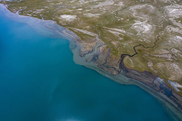
Aerial photo taken on June 16, 2020 shows a view of the Karakul Lake and the lakeside wetlands on the Pamir Plateau, Northwest China's Xinjiang Uygur autonomous region. [Photo/Xinhua]
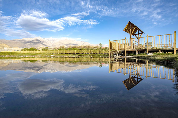
Photo taken on June 10, 2020 shows a view of a wetland park in Taxkorgan Tajik autonomous county, Northwest China's Xinjiang Uygur autonomous region. [Photo/Xinhua]